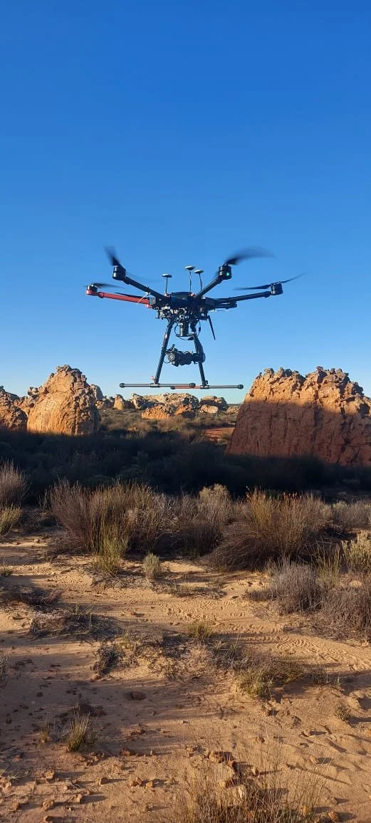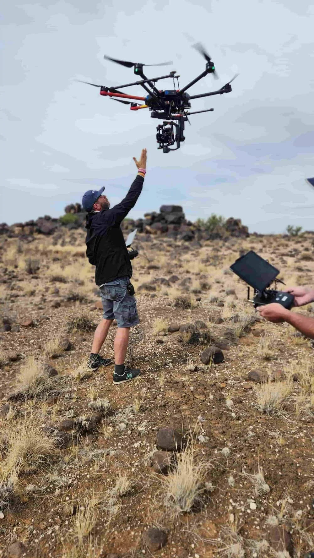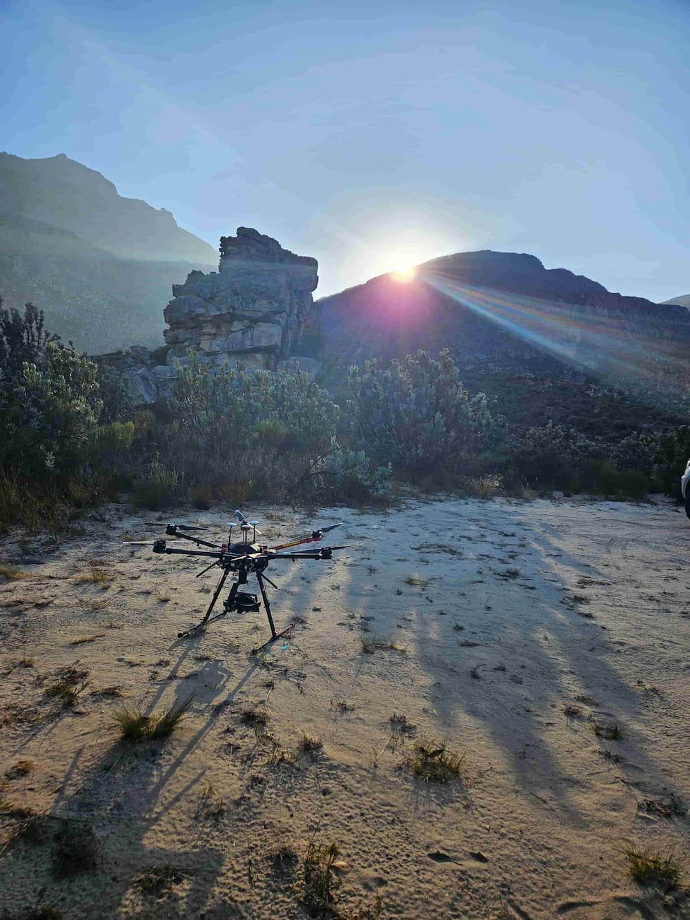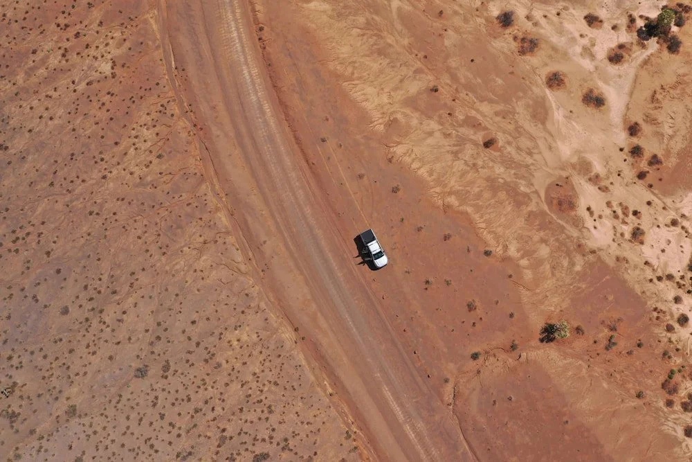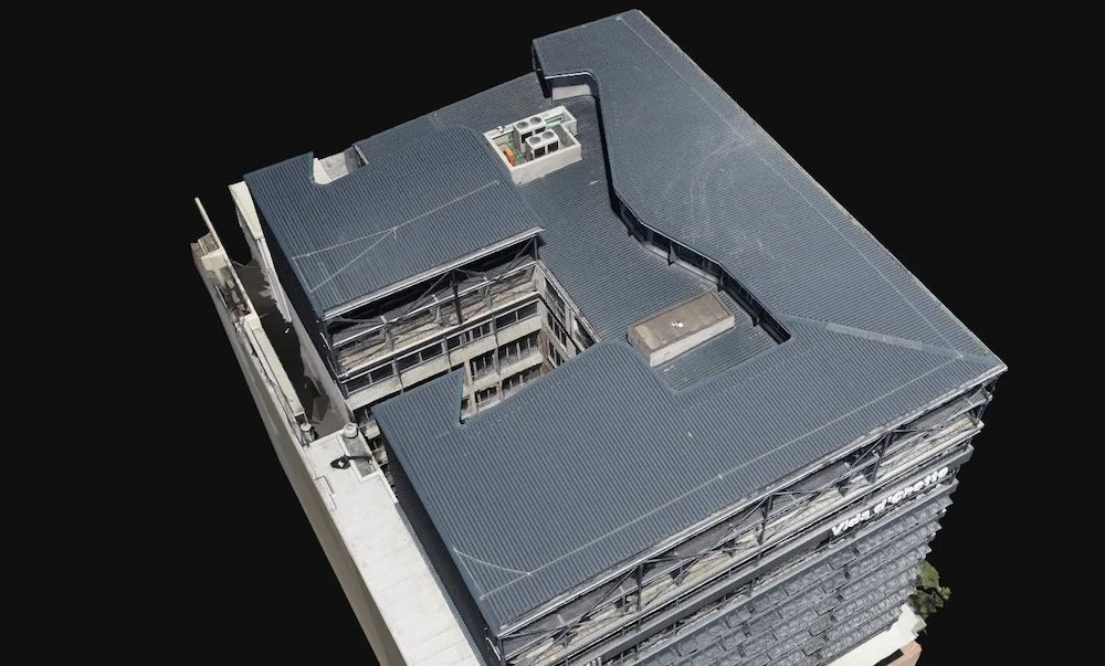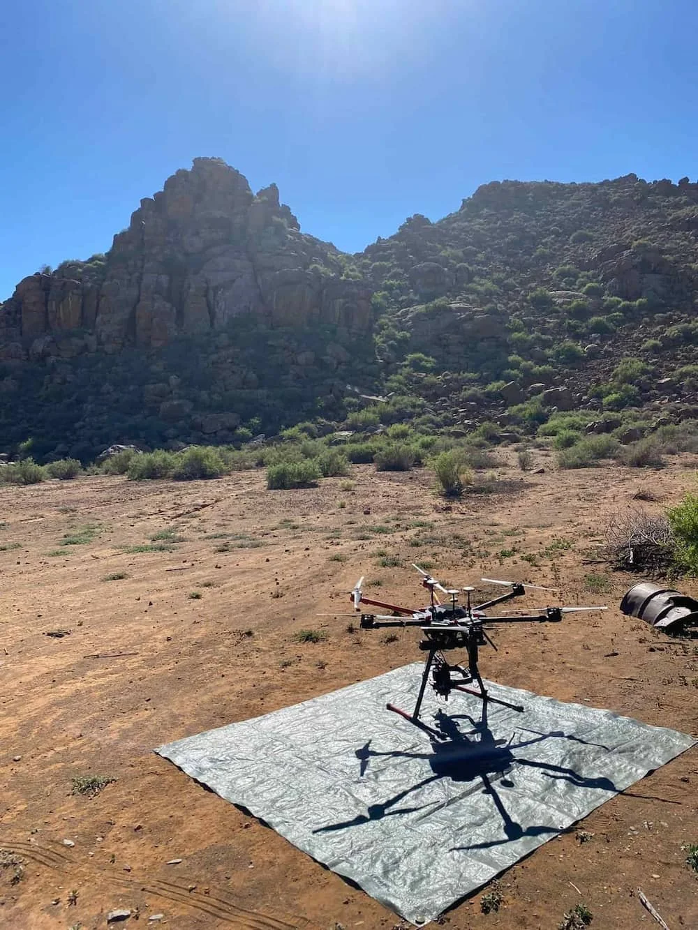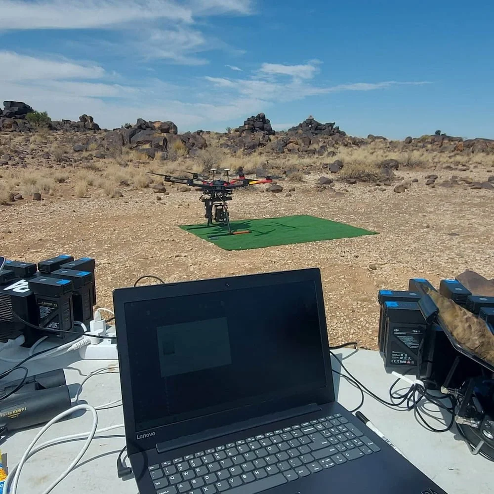

DRONE SCANNING
Equipped with high-precision mapping drones and skilled pilots, we capture vast landscapes with exceptional accuracy and rich, natural texture detail. The resulting data can stand alone or be combined with LiDAR and surface scans to create powerful, large-scale digital environments. Our artists interpret the natural rhythms, biome characteristics, and environmental storytelling that give those landscapes their life and authenticity.