3D Scanning Services: What South African Crews Need to Know
Location and set scanning
Across South Africa, 3D scanning services are an essential tool for film, television, construction, mining, engineering, and infrastructure projects. From capturing complex environments to creating accurate digital replicas, 3D scanning — particularly when driven by LiDAR and photogrammetry — is changing how crews plan, visualise, and execute work.
For teams considering 3D scanning services, understanding the technology, its applications, and how it fits into local conditions is key. This guide explains what South African crews need to know, including how LiDAR scanning, photogrammetry, and drone-based workflows are being used on real projects today.
What Are 3D Scanning Services?
3D scanning services capture physical environments, objects, or structures and convert them into precise digital models. These models can be used for planning, visual effects, measurement, documentation, and analysis.
At the core of modern 3D scanning is LiDAR (Light Detection and Ranging) — a laser-based measurement technology that produces extremely accurate spatial data. LiDAR is often combined with photogrammetry and aerial capture to deliver both geometric precision and visual realism.
Common outputs include:
High-density point clouds (primarily from LiDAR)
High-resolution 3D meshes
Textured models
Scaled digital environments
In South Africa, 3D scanning services are increasingly delivered using a hybrid workflow combining terrestrial LiDAR, drone-based LiDAR, photogrammetry, and aerial platforms, operated by specialist crews.
3D Scanning Is Used on South African Projects
Local crews use 3D scanning for a wide range of applications, often combining LiDAR with photogrammetry and aerial data capture. Typical use cases include:
Film and television location scanning
Set extension and visual effects
Construction progress tracking
Infrastructure inspection
Mining and land surveying
LiDAR provides the structural backbone — accurate distances, volumes, and geometry — while photogrammetry provides surface detail and visual texture.
Companies like Robot Air provide integrated LiDAR scanning, photogrammetry, and aerial capture solutions that support both creative and technical workflows.
Understanding LiDAR Scanning Services
LiDAR scanning services use laser pulses to measure millions of points per second, creating a highly accurate 3D representation of real-world spaces.
LiDAR is especially valuable for:
Precise measurement and surveying
Capturing large or complex structures
Environments with low texture or poor lighting
Dense vegetation, infrastructure, and terrain mapping
LiDAR performs reliably in conditions where photogrammetry struggles — such as flat concrete surfaces, low-contrast areas, or changing light — making it a foundational tool for engineering-grade accuracy.
Understanding Photogrammetry Services
Photogrammetry services complement LiDAR by using high-resolution images captured from multiple angles to create visually rich 3D models.
Photogrammetry is especially effective for:
Large outdoor environments
Natural landscapes
Architectural structures
Film locations
Drone-based photogrammetry is widely used in South Africa due to its efficiency and ability to cover large areas quickly, often layered onto LiDAR geometry to produce visually accurate and metrically reliable models.
The Role of Drones in 3D Scanning
Drones have transformed how 3D scanning services are delivered, particularly in South Africa, where terrain and scale can be challenging.
Drone-based scanning — including drone LiDAR and drone photogrammetry — offers:
Access to hard-to-reach locations
Faster data capture
Reduced on-site disruption
Improved safety
Robot Air specialises in professional drone operations, making it possible to capture complex environments with precision while meeting aviation and safety requirements.
Accuracy and Resolution Expectations
One of the most common questions crews ask is how accurate 3D scanning data really is. Accuracy depends on:
Capture method used (LiDAR vs photogrammetry)
Equipment quality
Environmental conditions
Operator experience
LiDAR delivers the highest geometric accuracy, while photogrammetry adds visual richness. Professional workflows use both where appropriate.
What Crews Need to Prepare Before a 3D Scan
Preparation plays a major role in successful scanning projects. Important considerations include:
Clear objectives for the scan
Required accuracy and output formats
Access permissions for sites
Weather, lighting, and environmental factors
Coordination with other departments
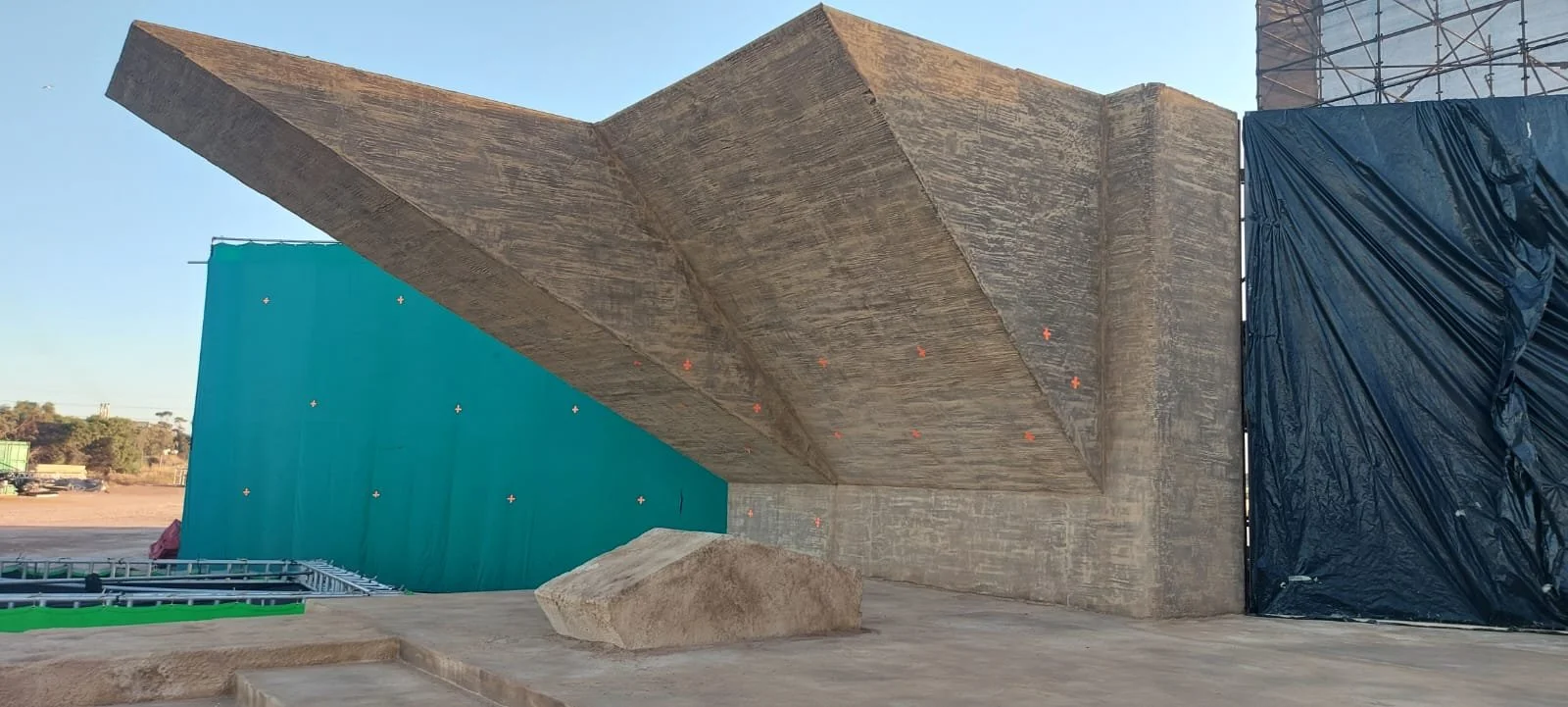
3D Scanning for Film and Television
South Africa remains a major destination for international film and television productions. 3D scanning services, especially LiDAR-based location capture, are now standard on many sets. Applications include:
Digital set extensions
Virtual production environments
Post-production visual effects
Location archiving
Data Management and Post-Processing
Capturing data is only the first step. Professional services include:
Point cloud processing and alignment
Mesh generation and optimisation
Texture integration
File formatting for client workflows
Secure data delivery
Compliance and Safety in South Africa
Operating drones and scanning equipment requires:
Licensed drone pilots
Approved flight operations
Site-specific risk assessments
Insurance coverage
Choosing the Right 3D Scanning Partner
Look for:
Proven South African experience
LiDAR and photogrammetry capability
End-to-end service delivery
Strong safety and compliance record
Robot Air combines LiDAR scanning, aerial expertise, and production knowledge to support demanding projects across South Africa.
Common Misconceptions
It is only for large budgets
It replaces traditional surveying entirely
Anyone with a drone can do it properly
None of these are true when you look at how LiDAR and professional workflows are actually used.
Frequently Asked Questions
What industries use 3D scanning services in South Africa?
Film, television, construction, mining, infrastructure, and engineering.
Is photogrammetry as accurate as LiDAR?
Photogrammetry can be highly accurate, but LiDAR remains the gold standard for geometric precision.
How long does a typical scan take?
Capture may take hours; processing may take several days depending on scope.
Do I need permissions?
Some locations and drone operations require approval.
Where can I find professional services?
Robot Air provides professional LiDAR scanning, photogrammetry, and aerial capture services across South Africa.
Final Thoughts and Next Step
As projects become more complex and data-driven, LiDAR-driven 3D scanning is no longer optional for many South African crews. Combining LiDAR, photogrammetry, drone capture, and professional processing ensures accurate, reliable data that integrates smoothly into production, engineering, and creative workflows.
If you are planning a project that requires LiDAR scanning or 3D scanning services in South Africa, contact Robot Air to discuss your requirements.